



Your cart is empty
You may check out all the available products and buy some in the shop
Return to shopAccurate & Reliable Digital Mapping Solutions
We provide professional digital mapping services designed to transform geographic and spatial data into clear, interactive, and easy-to-use digital maps. Our solutions help businesses, government agencies, and organizations visualize locations, assets, infrastructure, and land information with greater accuracy and efficiency.
Using advanced GIS technologies and mapping tools, we create customized digital maps that support planning, analysis, navigation, asset management, and decision-making. Whether you need land mapping, utility mapping, infrastructure mapping, or location-based data visualization, our team delivers precise and scalable solutions tailored to your requirements.
Our Digital Mapping Services Include:
Paper maps and manual land records are slow, error-prone, and hard to update. Digital mapping replaces them with accurate, easily accessible, and continuously updatable digital data—giving government agencies, developers, and infrastructure planners a modern, reliable foundation for every land-related decision.
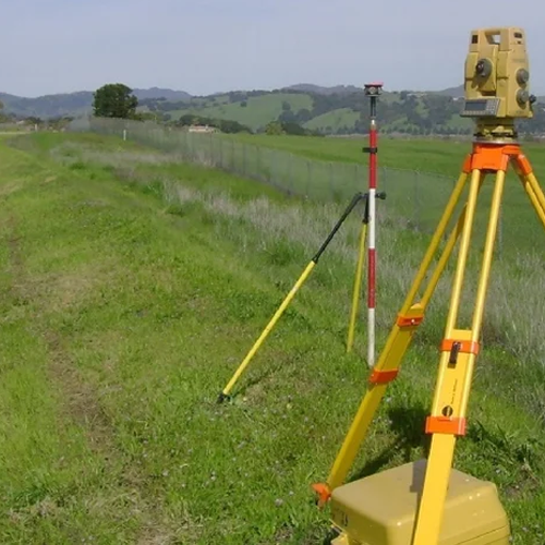
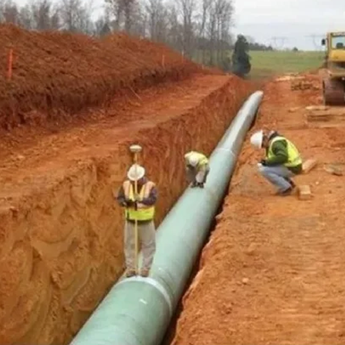
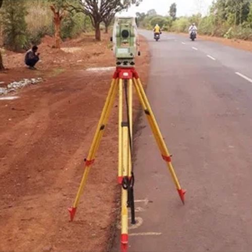
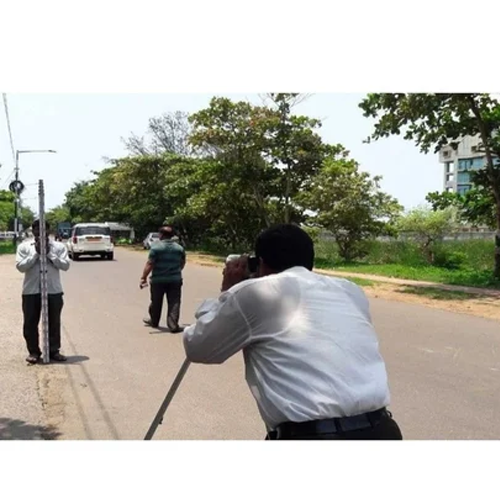
We provide professional digital mapping services, using drone imagery, GIS software, and satellite data to create precise digital maps for land records, urban planning, infrastructure development, and rural development projects.
Our teams currently serve major districts across West Bengal, Odisha, Bihar, and Jharkhand, supporting government departments, real estate developers, infrastructure agencies, and planning authorities.
Digital mapping is the process of converting physical land, infrastructure, and geographic data into structured digital formats—using drone imagery, GIS (Geographic Information System) software, satellite data, and ground survey inputs. This creates maps that are accurate, searchable, easily updated, and shareable across departments and platforms.
Digital mapping supports critical decisions in:
Without digital mapping, land administration and planning remain dependent on outdated, hard-to-verify manual records—leading to disputes, planning errors, and administrative delays.
We work with government land record departments, urban development authorities, infrastructure agencies, real estate developers, and rural development bodies across all our serviceable states.
From dense urban land in Kolkata to rural land records in Malda and Purulia, our team delivers accurate digital mapping services across West Bengal.
Districts we serve:
Kolkata, Howrah, Durgapur, Asansol, Siliguri, Malda, Kharagpur, Bardhaman (Burdwan), Nadia (Krishnanagar), Hooghly (Chinsurah), North 24 Parganas (Barasat), South 24 Parganas (Alipore), Purulia, and Cooch Behar.
We provide digital mapping services in Kolkata and Howrah for urban planning and infrastructure projects, along with land digitization services in Siliguri and Durgapur, supporting government land record modernization. Our drone-based digital mapping in Bardhaman and Malda supports large-scale rural land data collection.
As Odisha modernizes its land administration and infrastructure planning, our digital mapping services support both urban and rural development across the state.
Districts we serve:
Bhubaneswar, Cuttack, Rourkela, Berhampur (Brahmapur), Sambalpur, Puri, Balasore, Bhadrak, Baripada (Mayurbhanj), Angul, Jharsuguda, Koraput, Kendrapara, and Jajpur.
We offer digital mapping services in Bhubaneswar and Cuttack for urban infrastructure planning, along with digital cadastral mapping in Sambalpur and Rourkela, supporting land record digitization. Our satellite mapping services in Puri and Balasore support coastal and disaster management planning.
Our team supports Bihar’s land administration and infrastructure development with reliable, accurate digital mapping services.
Districts we serve:
Patna, Gaya, Bhagalpur, Muzaffarpur, Darbhanga, Purnia, Ara (Bhojpur), Begusarai, Chapra (Saran), Katihar, Munger, Nalanda (Bihar Sharif), Samastipur, and Motihari (East Champaran).
We provide digital mapping services in Patna and Gaya for urban planning and government land record projects, along with land digitization services in Muzaffarpur, Bhagalpur, and Darbhanga, supporting rural land record modernization across the state.
Our digital mapping services in Jharkhand support the state’s mining, industrial, and land administration sectors with precise, structured digital data.
Districts we serve:
Ranchi, Jamshedpur, Dhanbad, Bokaro, Deoghar, Hazaribagh, Giridih, Ramgarh, Dumka, Phusro, Chaibasa (West Singhbhum), Chatra, Gumla, and Palamu (Daltonganj).
We offer digital mapping services in Ranchi and Jamshedpur for urban and industrial land planning, along with drone-based digital mapping in Dhanbad and Bokaro, where large mining and industrial land parcels require fast, accurate digitization.
✅ Drone, GIS & satellite-based mapping technology for accurate, fast results
✅ Multi-state coverage across West Bengal, Odisha, Bihar & Jharkhand
✅ Experienced with government land record and cadastral mapping projects
✅ Fast mobilization — team on-site within 24–48 hours
✅ Digital maps formatted for GIS platforms and government systems
✅ Trusted by government departments, developers, and infrastructure agencies
1. What is digital mapping?
Digital mapping is the process of converting physical land and infrastructure data into structured digital formats using drone imagery, GIS software, and satellite data—creating maps that are accurate, searchable, and easily updatable.
2. Which locations do you provide digital mapping services in?
We currently serve major districts across West Bengal, Odisha, Bihar, and Jharkhand.
3. What technology do you use for digital mapping?
We use drone imagery, GIS software, and satellite data, combined with ground survey verification where needed, to create precise digital maps.
4. Do you provide digital mapping for land record digitization?
Yes, we offer digital cadastral mapping services specifically for land record digitization and modernization projects for government departments and land authorities.
5. How much does digital mapping cost?
Pricing depends on land area, mapping method, and required data resolution — we offer transparent per-acre pricing. Contact us for a customized quote.
6. Can digital maps be integrated with GIS platforms?
Yes, our digital maps are formatted to be compatible with standard GIS platforms and government land record systems for easy integration and use.
Whether you’re digitizing land records in Patna, planning urban infrastructure in Bhubaneswar, mapping industrial land in Jamshedpur, or supporting rural development in Malda, our experienced digital mapping team delivers the accurate, structured data your project needs. Contact us today for a free consultation and quote.
WhatsApp us
Address: 1234 Fashion Street, Suite 567,
New York, NY 10001
Email: info@fashionshop.com
You may check out all the available products and buy some in the shop
Return to shop