Accurate Surveying Solutions Tailored to Your Needs
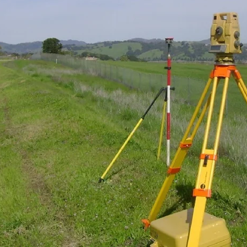
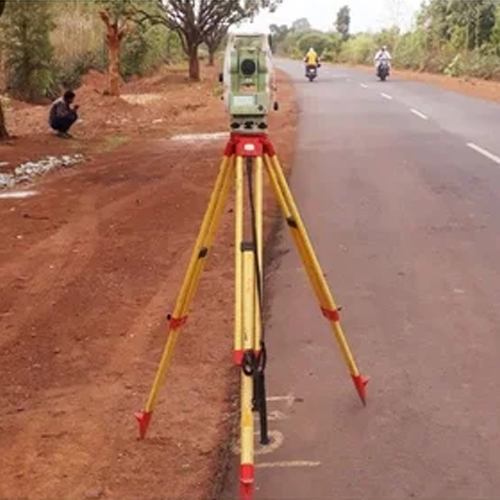
ARYA SURVEYOR, established in 2013, specializes in land surveying and GIS mapping, leveraging cutting-edge technology and skilled professionals to deliver precise results. Over the years, e’ve integrated advanced tools like DGPS, Total Station, and Drones to conduct a wide range of surveys, including topographical, layout, demarcation, contour, and hydrological surveys. Our expertise spans multiple industries such as agriculture, urban planning, infrastructure development, highways, railways, and solar energy projects.
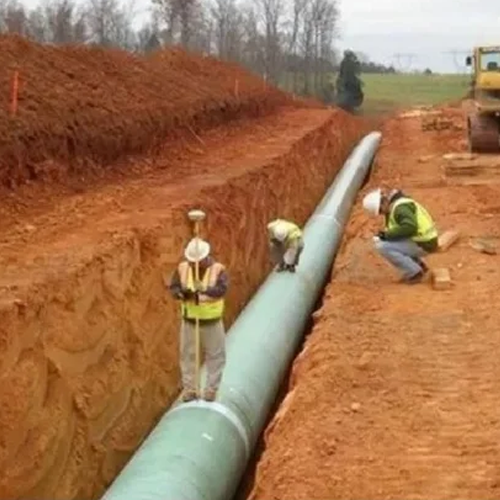
With our advanced approach and commitment to excellence, we have been able to meet the diverse demands of infrastructure projects, ensuring high-quality, reliable survey services for both private and public sector initiatives. Additionally, we provide architectural design services, contributing to the successful planning and development of various projects.