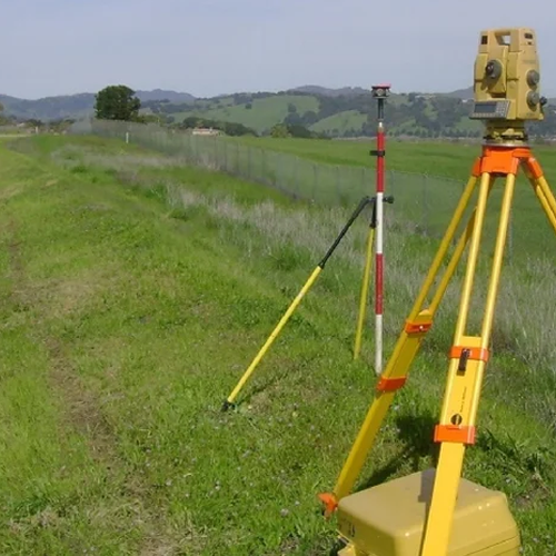
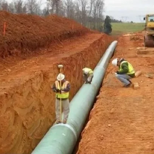
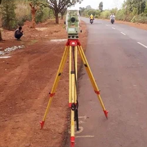
Our Topographical Survey services provide accurate and detailed mapping of land features, helping engineers, architects, developers, and planners make informed decisions before starting any project. We capture natural and man-made features such as elevations, contours, boundaries, roads, buildings, utilities, trees, and drainage systems using advanced surveying equipment and modern techniques.
With precise data and comprehensive survey reports, we ensure smooth project planning, design, construction, and land development while minimizing risks and costly errors. Our team is committed to delivering reliable, high-quality survey solutions tailored to your project requirements.
Key Features:
- Accurate Land Mapping
- Contour & Elevation Surveys
- Existing Feature Identification
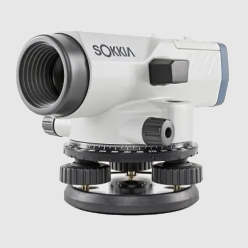
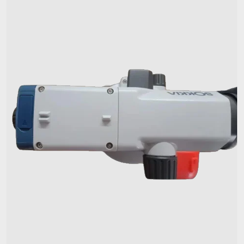
- Advanced Survey Equipment
- Detailed CAD Drawings & Reports
- Reliable Data for Planning & Design