Precision Surveying & Digital Mapping Solutions
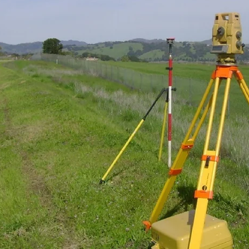
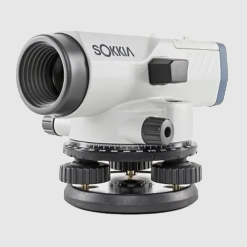
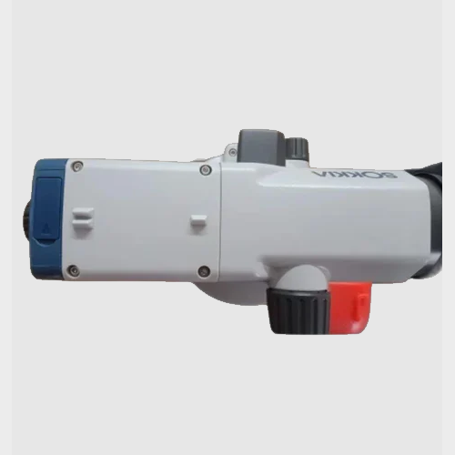
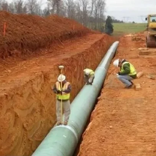
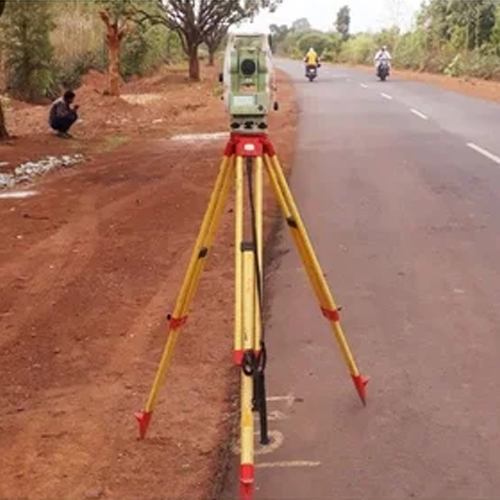
At CAD Astral Surveys, we provide accurate land surveying, mapping, and geospatial solutions to support construction, infrastructure, engineering, and development projects. Using advanced surveying equipment and industry-leading CAD technology, our team delivers reliable data that helps clients make informed decisions and execute projects with confidence.
Our services include topographical surveys, boundary surveys, contour mapping, construction layout surveys, GPS surveys, and digital CAD drafting. We focus on accuracy, efficiency, and timely project delivery, ensuring that every survey meets the highest professional standards.
Whether you are planning a new development, managing a construction project, or requiring detailed land measurements, CAD Astral Surveys offers dependable surveying solutions tailored to your specific requirements.
Our Services Include:
- Topographical Surveys
- Boundary & Land Surveys
- Contour Mapping
- Construction Layout Surveys
- GPS & Geospatial Surveys
- CAD Drafting & Digital Mapping
- Infrastructure & Engineering Surveys
- Site Measurement & Planning Support