Arya Surveyor
Identifying slope variations and elevation points to create crucial data for site grading and water flow management.
Utilizing advanced GPS coordinates to precisely mark ground points for rapid, perfectly aligned solar panel installation.
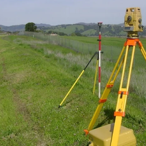
Point-to-point marking of structural grids and foundation corners on-site with millimeter accuracy.
Mapping land contours, elevations, and features to provide a precise baseline for architects and engineers.
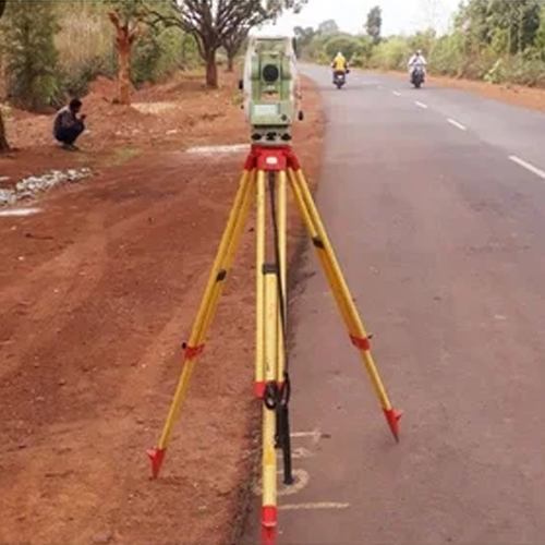
Establishing high-precision alignment and setting-out data to guide structural and civil construction projects.
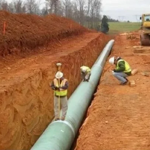
Specialized route mapping to optimize linear corridors and calculate accurate earthwork volumes.
Capturing detailed vertical profiles and cross elevations essential for grading and drainage design.
Delivering on-site dimensional control to accurately transfer structural blueprints onto the physical ground.
Mapping underwater topography and measuring depths for marine infrastructure, reservoirs, and dredging.
Setting up uniform coordinate networks across vast sites for precise leveling and volume calculations.
Converting raw field data into intelligent, vector-based digital maps for modern spatial planning.
Surveying and charting exact property boundaries to ensure absolute legal compliance and title clarity.
Transforming complex field measurements into clean, industry-standard 2D and 3D engineering layouts.
Creating composite blueprints that seamlessly blend existing site data with proposed engineering designs.
WhatsApp us
Email address *Required
Password *Required
Remember me Lost your password?
Log in
Address: 1234 Fashion Street, Suite 567, New York, NY 10001 Email: info@fashionshop.com
You may check out all the available products and buy some in the shop