Precision Mapping of Water Bodies
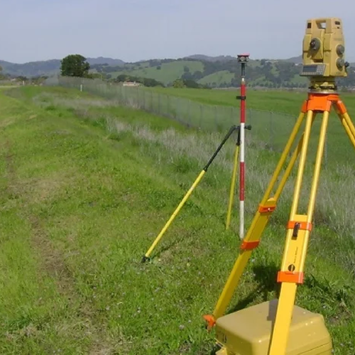
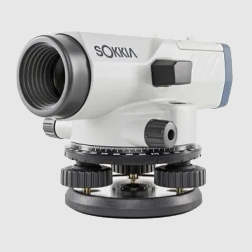
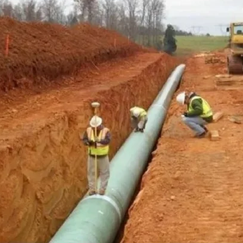
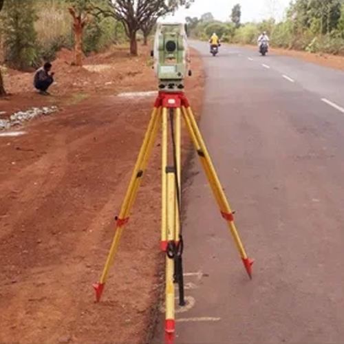
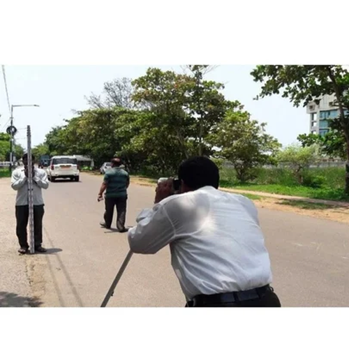
We provide professional Hydrographic Survey services to accurately measure and map underwater features of rivers, lakes, reservoirs, canals, ports, and coastal areas. Using advanced survey equipment and modern technology, our team collects precise data on water depths, seabed conditions, underwater structures, and channel profiles to support engineering, construction, dredging, navigation, and environmental projects.
Our hydrographic surveys help clients make informed decisions by delivering reliable and detailed information for planning, monitoring, and managing water-related infrastructure. We are committed to ensuring accuracy, efficiency, and compliance with industry standards in every project.
Our Hydrographic Survey Services Include:
- Bathymetric Surveys
- River & Canal Surveys
- Reservoir & Lake Surveys
- Port & Harbor Surveys
- Dredging Quantity Calculations
- Underwater Topographic Mapping
- Navigation Channel Assessment
- Environmental & Water Resource Studies
Why Choose Our Hydrographic Surveys?
- High-Accuracy Data Collection
- Advanced Survey Technology
- Experienced Survey Professionals
- Detailed Reports & Mapping
- Timely Project Execution
- Reliable and Cost-Effective Solutions