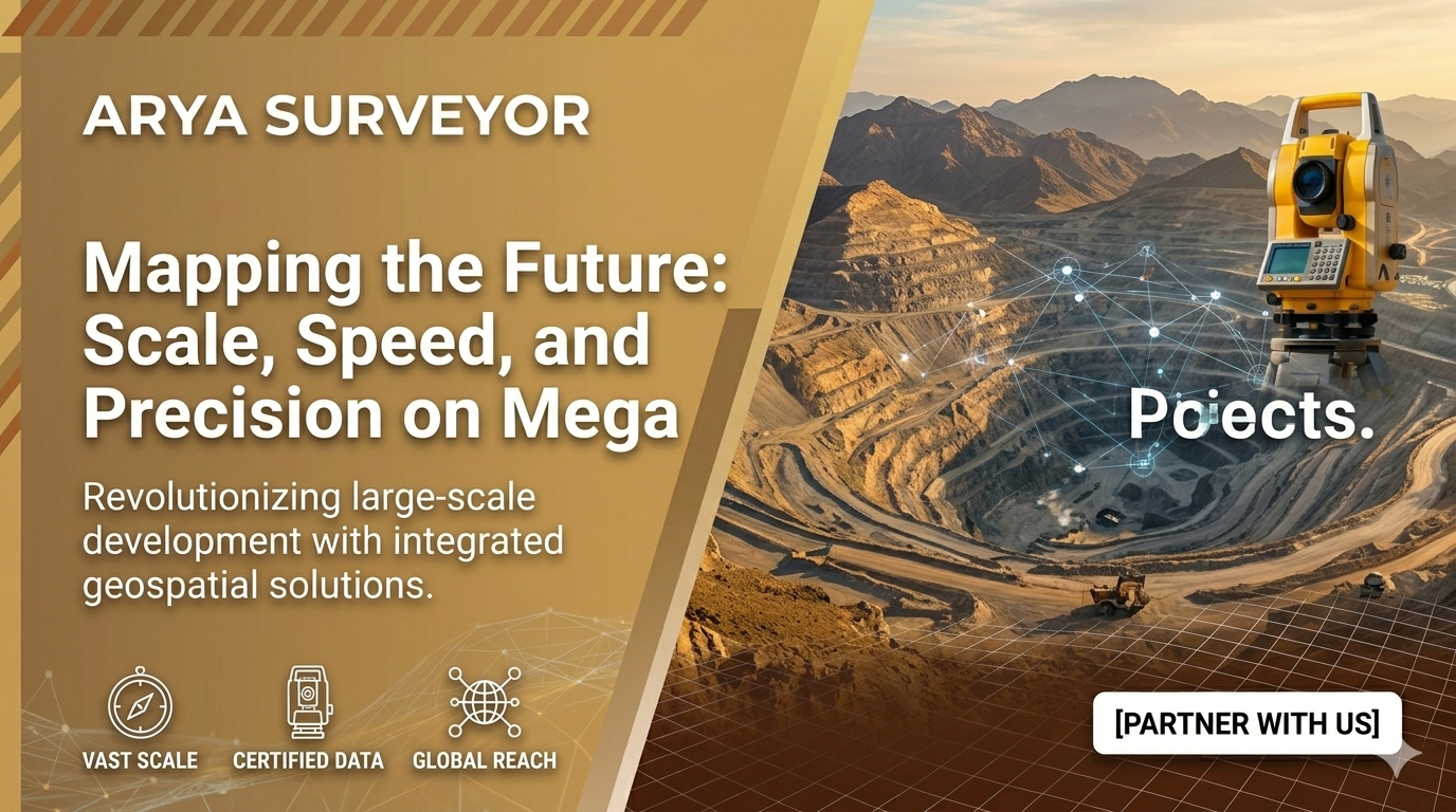
Introduction
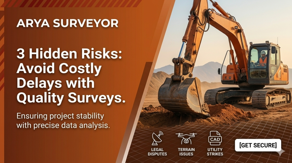
When managing sprawling infrastructure projects—whether it’s a massive mining site, a new highway corridor, or a 50-acre township—the logistical challenges of data collection can be overwhelming. How do you maintain 100% quality assurance when the scale is massive?
Key Sections
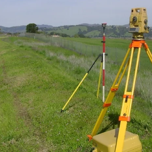
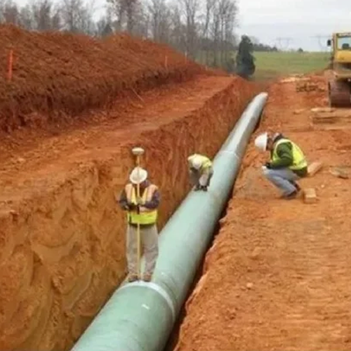
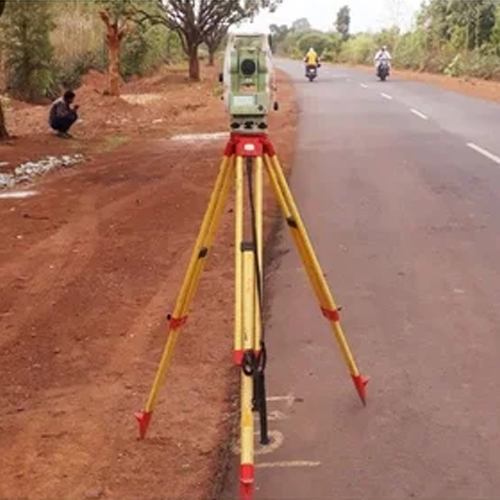
- The Challenge of Scale: Traditional ground surveying on vast, rugged terrains can take weeks, stalling heavy machinery and inflating labor budgets.
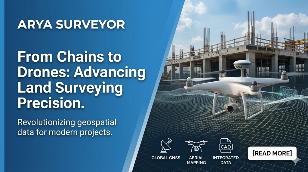
- The Geometrix Approach: By deploying synchronized high-accuracy aerial mapping alongside ground-based GNSS networks, vast landscapes can be mapped in days instead of weeks.
- Turning Data into Progress: How delivering ready-to-use, integrated CAD data allows project managers, builders, and architects to stay perfectly aligned and work off a single source of truth.
Conclusion / CTA
No project is too vast, and no terrain is too complex when you have the right geospatial partner. Discover how our 24/7 support and certified expertise can streamline your next major build. Explore our services at Arya Surveyor.