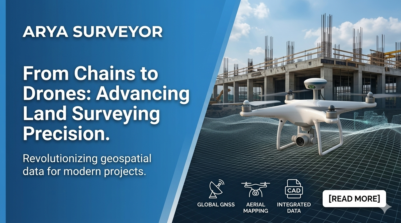
Introduction
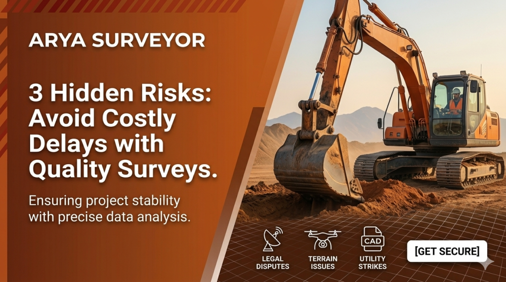
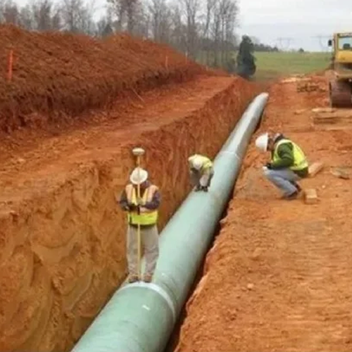
The days of manual measuring chains and rough estimations are long gone. Today, the success of multi-million dollar infrastructure projects hinges on millimeter-level accuracy. As construction timelines shrink, modern geospatial technology has stepped up to ensure safety, speed, and absolute precision.
Key Sections
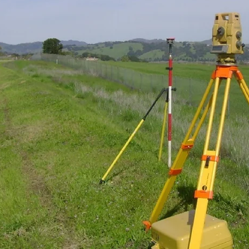
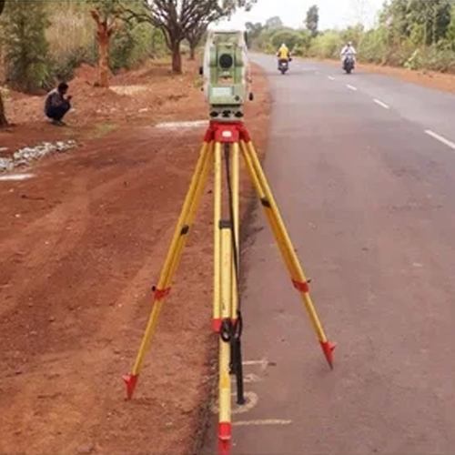
- The Power of Global GNSS Networks: How real-time satellite tracking eliminates guesswork on complex terrains, ensuring project boundaries are flawlessly established.
- High-Accuracy Aerial Mapping: Why drone surveying is a game-changer for large-scale sites, capturing millions of data points in a fraction of the time required by traditional ground methods.
- Seamless CAD Integration: Transforming raw field data into actionable, multi-layered CAD files that architects and engineers can immediately implement without translation errors.
Conclusion / CTA
Investing in cutting-edge surveying tech doesn’t just prevent costly construction delays—it protects your bottom line. Ready to plan your next development with flawless data? Contact Arya Surveyor today for a consultation.