Accurate Land Elevation Mapping for Better Planning
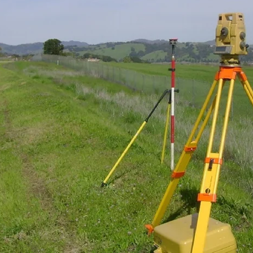
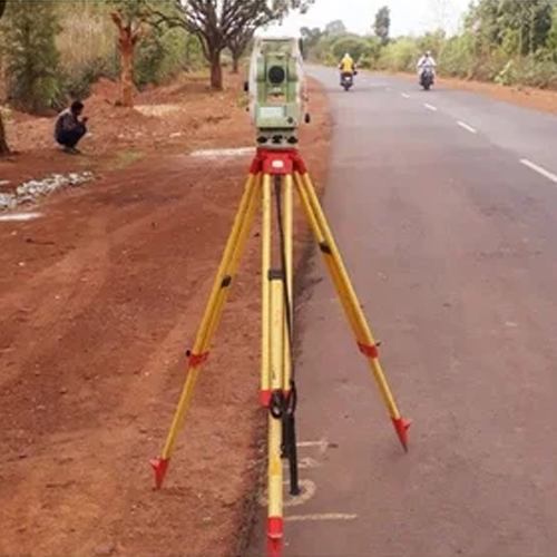
Contour Surveying is the process of measuring and mapping the natural elevations and depressions of a land area. It provides detailed contour maps that represent the terrain’s shape, slope, and level differences, helping engineers, architects, and developers make informed decisions during project planning and design.
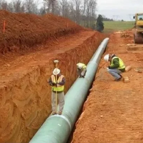
Our contour surveying services utilize advanced surveying equipment and modern techniques to deliver precise topographical data. Whether for construction projects, road development, land subdivision, drainage planning, or infrastructure design, we provide reliable contour maps that support efficient and cost-effective project execution.
Key Features
- Precise elevation and terrain mapping
- Detailed contour map preparation
- Suitable for construction and infrastructure projects
- Accurate slope and drainage analysis
- Advanced surveying equipment and technology
- Reliable data for planning and design purposes
Applications
- Residential & commercial developments
- Road and highway projects
- Industrial sites
- Land development and subdivision
- Drainage and water management planning
- Engineering and architectural projects